Utility Locating

Earth View is one of a few companies in Florida to specialize in locating private and publicly owned utilities. EV provides a variety of locating services for making critical and accurate decisions in the field. We know teams encounter unknown utilities during excavation, which makes inspecting and mapping a crucial step before any shovel hits the ground.

Mapping
+

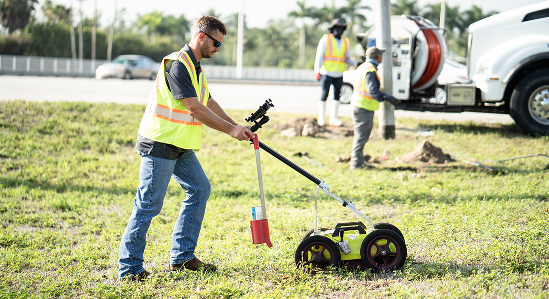
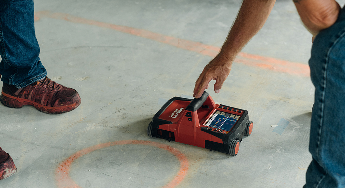
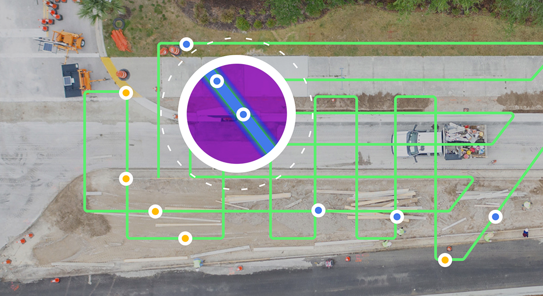
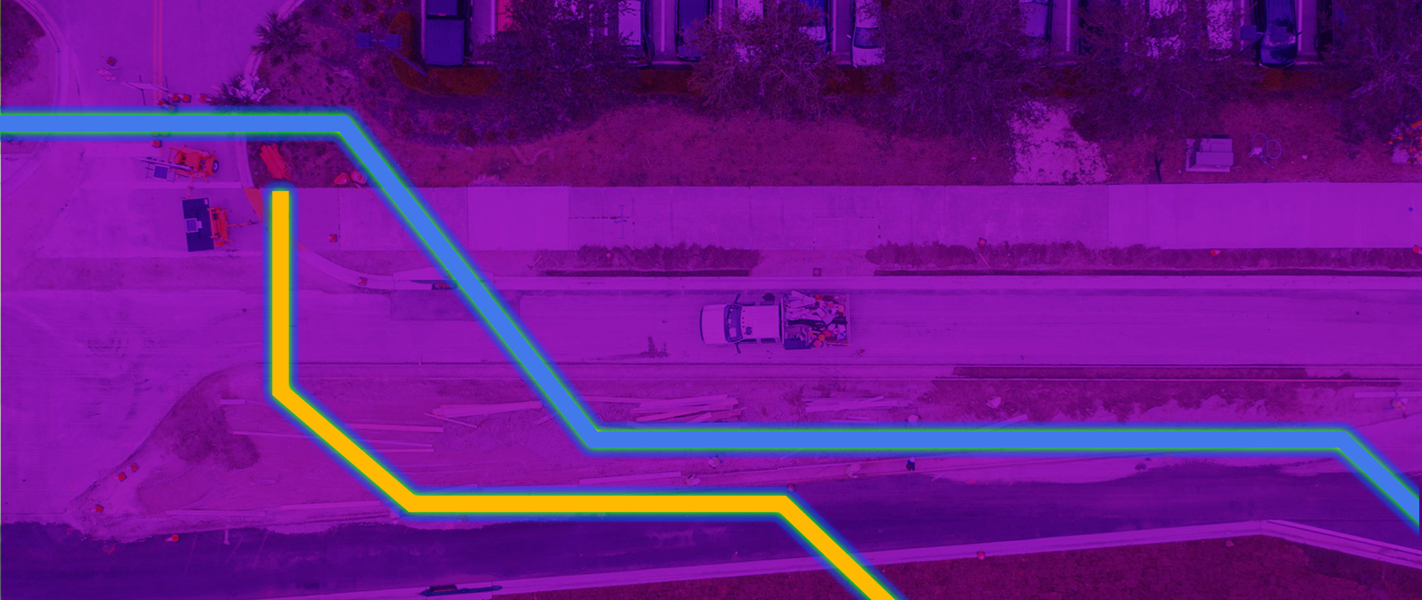
After locating and marking unknown underground utilities following the American Public Works Association uniform color codes, Earth View is able to map the ground markings using Trimble mapping-grade GPS equipment. GPR is used to find various unknown utilities including, but not limited to:

  • PVC or Plastic Pipe
  • Concrete Pipes/Structures
  • Septic Tanks
  • Water & Sewer Lines
  • Underground Storage Tanks
  • Fault Locating
  • Irrigation

Ground-Penetrating Radar

Earth View uses Ground Penetrating Radar (GPR) to find undetectable underground utilities and structures. GPR provides excellent resolution and increased depth penetration to identify metallic and nonmetallic objects by sending electromagnetic waves underground. This safe, non-destructive method provides an accurate representation of the utilities prior to any construction. Some of the utilities EV locates include water service lines (plastic or metal), electric, communications, gas lines, sewer lines, and miscellaneous utility lines.

Concrete Scanning

Earth View uses Concrete Penetrating Radar to determine the location of utilities within concrete walls, columns, and ceilings. The latest in high-frequency GPR, and Concrete Scanning offers a detailed view of what is within concrete. This technology can also be used for interior utility locating.

Concrete Penetrating Radar prevents hitting conduits, rebar, and post-tension cables while core drilling. It also prevents structural or other hazards by avoiding bands of tendons, damage to electrical and communication systems, and costly electrical conduit strikes.

Vacuum Excavation

Once utilities are located, Earth View utilizes Vacuum Excavation to locate, expose, and record the precise horizontal and vertical location of an underground utility. This process, also known as soft digs, begins by cutting small test holes in the surface at critical points along an underground utility’s path. The soil is then extracted using a high-pressure vacuum to safely expose the utility.

This cost and time-saving method is recommended to accurately determine the location of buried utilities while eliminating potential utility damages and repairs.

Leak Detection

Leaks are a burden no matter the utility. They wreak havoc on your utility systems, the adjacent subsurface, and even the surface above. EV locates your leaks wherever they might be.

Utilizing a variety of methods and technology, Earth View make sure your leak is short-lived.

Utility Mapping

Before you break ground, utility mapping is a crucial step in understanding what might lay beneath your excavator. EV knows the impact a broken pipe has on a project and doesn’t want you to absorb additional costs.

In addition to the traditional method of flags and spray paint to mark findings, our teams can provide accurate utility mapping and CADD reports to ensure a smooth excavation process. This also creates a permanent record of the utility layout for future reference.

Utility Locating

Utility Locating Project

View project